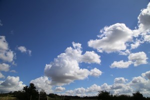
Induced Cumulus – MET Office unable to explain
This page is still under development.
We will update it if and when The MET Office manage to think of an explanation.
We will also try to post more images and video evidence ASAP.
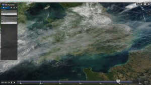
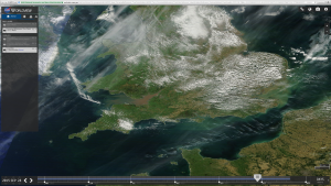
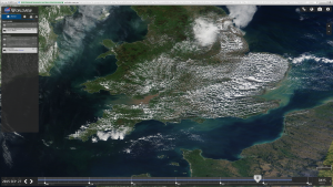
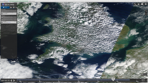
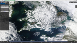
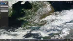
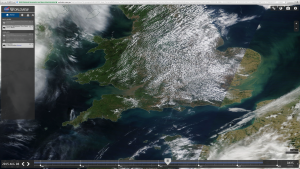
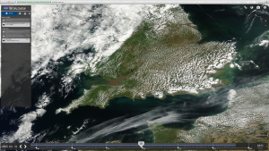
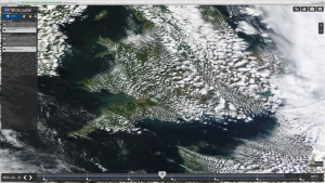
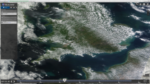
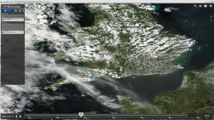
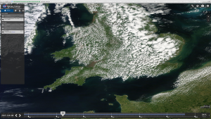
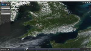
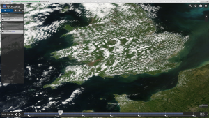
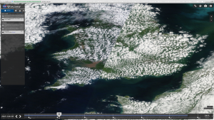
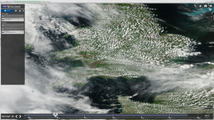
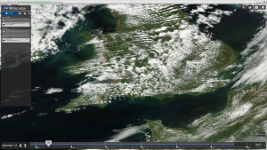
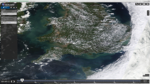
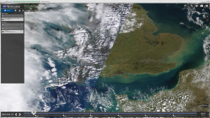
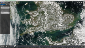
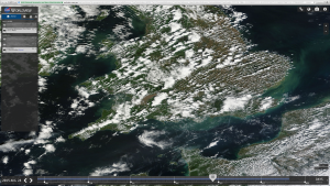
Below we have a gallery of images taken from the Worldview Satellite which show clear evidence of the fact that the Induced Cumulus clouds, as we have termed them, only form over land. This is a phenomenon that we discovered in the summer of 2015 and have been monitoring as far as possible since. There is still not too much evidence of this as it requires surveillance in coastal areas to catch the ‘clouds’ forming and disappearing. We have some footage of this but are hoping to post much clearer evidence very soon.
The great thing about this is that now we have busted them it puts the MET Office and an extremely precarious situation. If they continue to use this system, whatever it may be, it will allow us and others to gather more and more evidence. They can’t change it or hide it, as these things won’t form over the sea because they need a land based system to form so they are now stuck between a rock and a hard place.
The system
There is mounting evidence that a system of antennas that have been installed across the UK are involved in some way. Other evidence from across the globe from legitimate weather modification companies confirms that EMF – electromagnetic energy – can be used to influence weather and rainfall so though it may sound exotic it is actually known and existing technology.
We have been looking into this and will publish results in a another article later in the year, but here we deal only with the visible cloud-like formations that seem to be forming in long lines over the UK.
Long lines of clouds, that stop at the coast
Below is a gallery of satellite images from 2015 showing this in its full glory. It is important to note that the satellite images are from random times in the day, taken whenever the satellite happens to pass over the UK. For that reason some images are split and you see early/late composition images.
It is also important to note that from our observations of Induced Cumulus over the past 2 years, we have established that they tend to form spontaneously over vast areas during mid to late morning, increasing in size and density as the day progresses. This explains why some images show low density and some high density, as they are all at different times of the day.
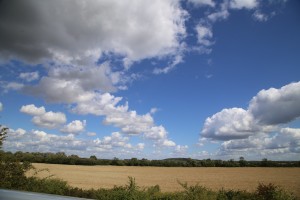
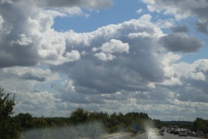
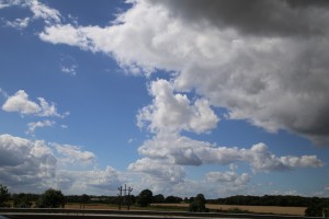
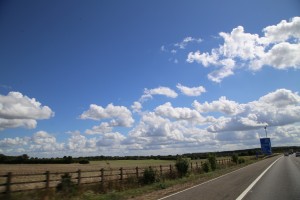
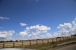
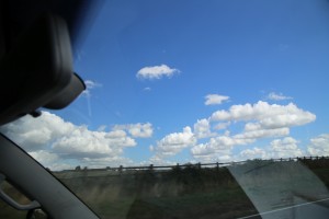
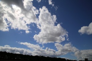
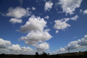
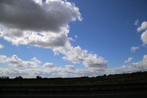
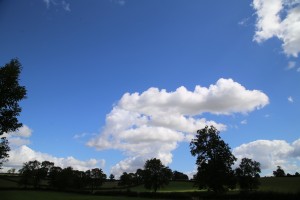
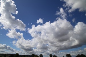
Further down the page we have images taken from the ground that show the exact same thing on one particular day – 28th August – and have a larger version of the satellite image for that day.
- Satellite travels East to West. This is a composite of dawn / right and late afternoon / left
As you will have noticed, not only do these Induced Cumulus only form over land bu they also form in long rows. This is completely inexplicable in any natural way. There is no natural condition or process that could possibly produce this effect on a daily basis. For cloud to so closely match the coastline of each country, and this happens in every country that features this system, not just in the UK, means that it can only be explained by a variable based on land. Seeing as our atmosphere and clouds generally are not hydrophobic, quite the opposite, there is something very strange going on here. Traditionally clouds tend to form more easily over the sea because of the increased moisture and salt spray acting as condensation nuclei.
MET Office lies.
We have shown many time that the MET Office regularly trot off complete and utter lies to try to explain away strange phenomenon in our skies. Almost everything now seems to be the result of ice crystals doing this and that and dust particles behaving in unusual ways. Rainbow Clouds and red clouds are just 2 examples of The MET Office exposing themselves as liars with totally incredulous explanations for things we – the public – have noticed and reported.
Despite their eagerness to deceive the public and try to convince us all that everything is fine, they have failed to conjurer up an explanation for this, probably because it is so completely obvious that they can’t think of one. We contacted them on January 7th 2016 by phone and then email, with a link to the draft of this page.
They did not respond. Normally weather desk enquiries submitted by email are dealt with in 24-48 hours. After 7 days we still had no response. We called back today (14th) and one of the advisers stated that no action had been taken on the enquiry, which is corporate-speak for they have chosen to ignore it in the hope we will go away. Sorry guys, not going to happen. This is the biggest single weather modification discovery ever and we will be pursuing you relentlessly and advertising the fact that you can’t or wont explain it.
In some ways it is a shame as we were quite looking forward to the laughable nonsense about lines of pressure and moisture variations, sea vs land dust and humidity variations blah, blah, blah etc… it seems the MET Office Book of Pseudoscientific Excuses has no chapter for this one. Maybe they thought we would not notice or maybe they just haven’t written it yet and are busy trying to think of something believable, hence the delay in responding. Who knows. All we can say is…
ABSOLUTELY, TOTALLY AND UTTERLY BUSTED !
Here we have one of those images in full. 28th August 2015, and we compare this image to the photographs taken on the ground on the same day, which clearly show the long lines.
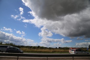
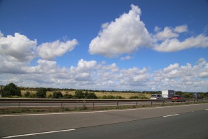
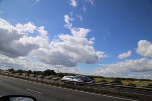
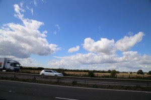
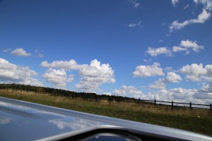
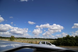
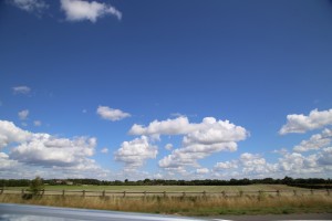
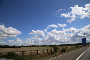
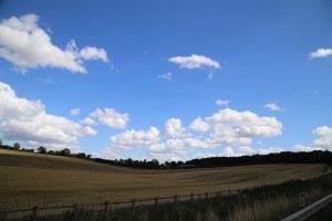
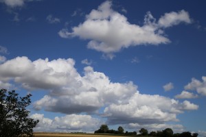
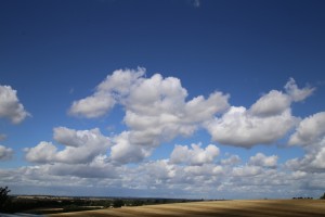
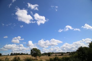
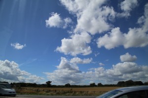
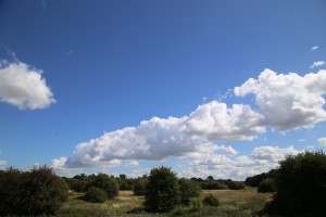
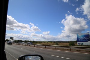
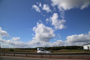
All images in this gallery were taken on 28th August 2015 in Oxfordshire. It clearly shows corresponding lines exactly as in the above satellite image from the same day
We will be adding more evidence to this article as and when we can.
Please get out there with a time lapse camera, especially at the coastline, and film these things forming and disappearing. This is probably the easiest aspect of Climate Engineering to prove. They can neither hide it nor explain it, so we just need some good video evidence and we can take The MET to court on a public safety issue.
Closer and closer every week !
Ed


